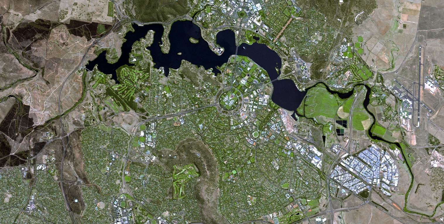
20 Nov Exploring the limitless applications of the new SPOT6 data in the South African context
Satellite imagery is used to support public sector planning and delivery in areas such as agriculture, human settlements, infrastructure development, and environmental monitoring and conservation. In line with its vision to be a leader in ensuring that satellite Earth observation


