10 Jun Enter upcoming Hackathon sponsored by SANSA and Amazon
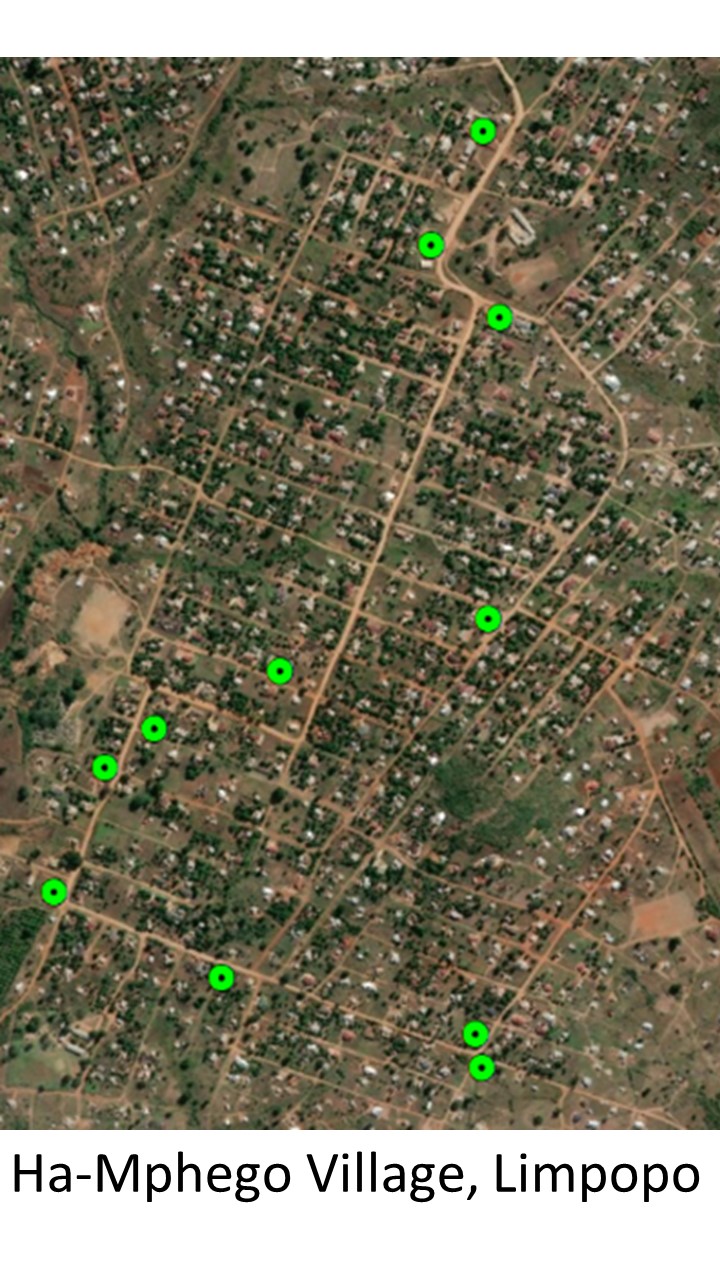
Satellite image showing spaza shops in Limpopo
During the COVID-19 crisis, it is more critical than ever for governments to be able to identify the locations of informal settlements. Knowing where informal settlements are located will help governments make more appropriate policies and ensure that all people have access to the services they need. Satellite imagery can help do this at scale across the country.
The South African National Space Agency (SANSA) collects high-resolution satellite imagery from a number of international earth observation satellites. A machine learning model trained on this imagery would help SANSA to locate informal settlements more efficiently, providing the South African government with up-to-date information about the location and size of informal settlements without the need for physical in-person surveys.
In this hackathon, you’re invited to use SANSA’s high-resolution satellite imagery to develop a machine learning model to identify whether an image of an area in South Africa contains informal settlements or not. All participants will use Amazon AWS virtual machines (VMs) to access the data and do all their work during the hackathon.
Only 300 data scientists will be able to participate in this hackathon. Sign-ups are by invitation only until the hackathon opens on Friday 12 June 2020 12pm GMT.
After the hackathon opens on 12 June, we will remove the secret code so that anyone may sign up for the remaining spaces, which will be filled on a first-come-first-serve basis.
This hackathon is sponsored by SANSA and Amazon.
For more information visit https://zindi.africa/hackathons/sansa-informal-settlements-in-south-africa