24 Jun New High resolution data from Sentinel-2 for Land Monitoring
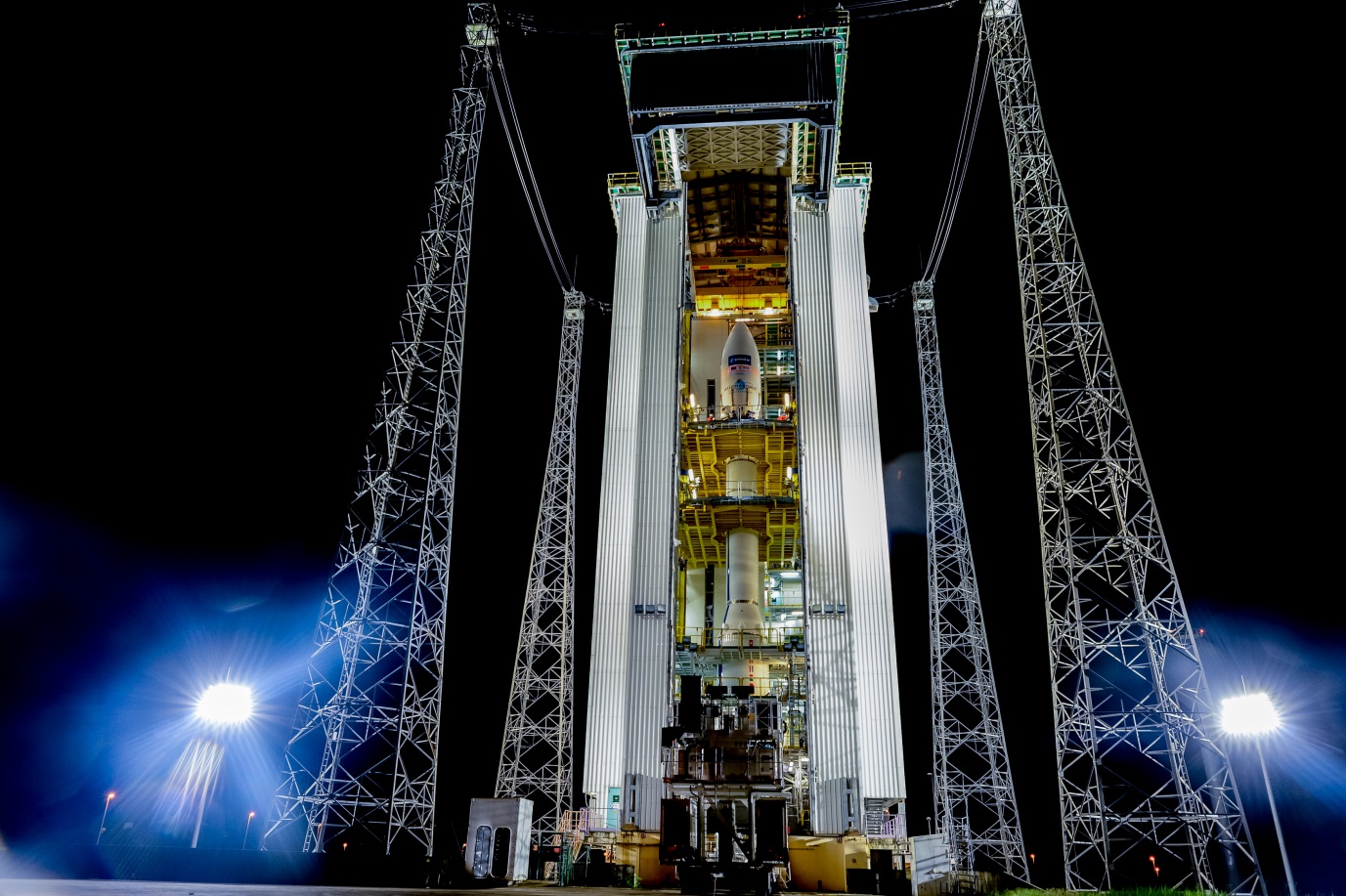
The European Space Agency’ (ESA) Sentinel 2A was successfully launched on a 30m tall Vega rocket from Europe’s Spaceport in Kourou (French Guiana) on the 23 June 2015. The new satellite will provide a wealth of information for various applications, including among others; agriculture and forestry, water resource management (lakes & coastal areas), disaster management, human settlement monitoring, land use/cover monitoring, etc. Essentially, the data will provide timely information (10 days revisit) for improved food security, improved service delivery, and rapid response to disasters.

Figure 1 Sentinel 2A (www.esa.int/sentinel2)
According to ESA’s website (www.esa.int/sentinel2) sentinel 2 is a two-satellite constellation, which carries “an innovative wide-swath, high-resolution multispectral imager with 13 spectral bands for a new perspective of our land and vegetation”. The second satellite, Sentinel 2B will be launched in 2016. The two will provide a global coverage every 5 days, in the meantime; Sentinel 2A will cover the whole globe every 10 days. For more information on Sentinel 2 visit http://www.esa.int/Our_Activities/Observing_the_Earth/Copernicus/Sentinel-2.
Some facts of Interest
Spectral bands: Multispectral imager (MSI) covering 13 spectral bands (443 nm2190 nm) at spatial resolutions of 10 m (4 visible and near-infrared bands), 20 m (6 red-edge/shortwave-infrared bands) and 60 m (3 atmospheric correction bands)
Swath width: 290 km
Life span: Minimum of seven years
Orbit: Polar, Sun-synchronous at altitude of 786 km
Main applications: Monitoring agriculture, forests, land-use change, land-cover change; mapping biophysical variables such as leaf chlorophyll content, leaf water content, leaf area index; monitoring coastal and inland waters; risk mapping and disaster mapping
Data access: sentinel.esa.int (FREE)
Product Processing Levels:
Level-1B data is radiometrically corrected radiance data. The physical geometric model is refined using available ground control points and appended to the product, but not applied.
Level-1C product provides geocoded top-of-atmosphere TOA reflectance, with sub-pixel multispectral and multi-date registration. Cloud and land/water masks are associated with the product.