25 Oct How do we archive satellite data
SANSA data systems management unit is responsible for the downloading and processing and archiving of satellite imagery from Earth observation satellites. The team operate between the facility in Hartebeesthoek, where satellite data is received and Pretoria, where researchers process the downloaded imagery. SANSA receives data/ imagery from MODIS (Terra and Aqua), Landsat 7 and 8, SPOT 5 (and soon 6) and have archived other satellite imagery such as SumbandilaSat, Eumatcast, ERS, MSIR and NPP.

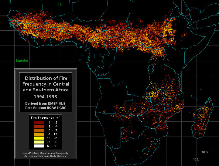
Fire detection
What data is archived?
The SANSA archive storage is composed of historical and daily acquired data. The historical data archived dates back as far as 1971 having data still being acquired today, a few of the data acquired at the present moment is from satellites such as Landsat, MODIS and SPOT. SANSA’s processed data is mainly free and used by students, institutions and government organizations that provide assessments on flooding, fires, resource management and environmental transformation in South Africa.


